 <= 3-D
analysis menu
<= 3-D
analysis menu In this section I'll describe 3-dimensional horizon applied analysis procedures.
This procedures can be used if user have 3-D project in GERMES-3 (project containing 3-D seismic information ("cubes"). It may be cubes of any dynamic seismic parameter - for example cube of inst. velocities, faze cube, frequencies cube, full gradient absolute values cube, coherency cube and so on.
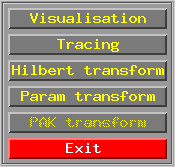
Starting SEIS - 3D in GERMES-3 main menu user gets 3-D project menu, chooses project he need and in 3-D analysis menu shown below clicks on "Param transform" button.
<= 3-D
analysis menu
GERMES-3 standard dialog appears in which user inputs all calculating parameters:
Parameters have the same sense as in 2-D procedures.
In 3-D procedures calculating window is 3-D window too. It has three dimensions width, height as in 2-D procedures and thickness. Simply - it's parallelogram. (In two horizon calculating mode window have not so simple shape - it s a 3D body which is bounded with planes in X and Y direction and with horizon surfaces in T direction).
All functions which were realized in 2-D procedures (see function select) are realized in 3-D procedures too, but there are some new functions:
Surface gradient
This function calculates a square root from sum of dX squared and dY squared, where dX and dY are derivatives with respect to selected horizon surface along X and Y directions respectively. Function works only in window which have 3 points in X & Y directions and one point in T (Z) direction.
CCM - cross correlation maximum
This function works in window witch have 3 points in X & Y directions. It calculates a cross correlation functions of window central T (Z) orientated vector and it's nearest eight neighbors. Than it calculates integral average values for every neighbor and evaluates maximum value with the window center. This function helps to estimate the quality of horizon correlation through the whole area and isolate any sort of tectonic faults, shifts etc.
CCMD - cross correlation maximum direction
This function calculates the same parameters as previous but it evaluates to the window center not the maximum correlation value, but the direction of it. The directions are coded with four numbers:
0 - north-west & south-east directions;
1 - north & south directions;
2 - north-east & south-west directions;
3 - west & east directions.
This function helps to see more clearly the main directions of tectonic faults and correlated areas in the horizon structure.
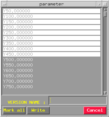
When calculating parameters are choosed user see standard HORAN instruments for creating parameter version for 3-D project on his desktop. All the interface elements are the same as in 2-D procedures in option HORAN-auto .par calculation/Create entry. Now, a list which is displayed in "Create version" dialog is as a list of seismic cube sections which user has in his 3-D project :
Griding 3-D parameter version procedure is all the same as similar procedure in 2-D case. Starting MAPPING block in GERMES-3 main menu user chooses 3-D area in 2-D/3-D menu shown below :
 <= 2-D/3-D
project menu
<= 2-D/3-D
project menu
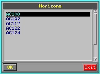
Then user chooses project he need in a project list and gets the list of horizons which were traced in the current project :
 <= horizon
list
<= horizon
list
Clicking "Ok" when required horizon was selected user activates mapping menu -
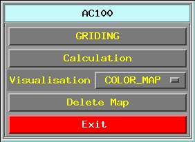 <= mapping
menu
<= mapping
menu
where clicking on button "GRIDING" and choosing "PARAM" in a griding menu -
 <= griding
menu
<= griding
menu
user gets standard HORAN instruments for work with calculated parameter versions (see 2-D procedures in option HORAN-auto .par calculation/Grid version). As it is in 2-D procedures - by "Grid" button pressing, highlighted version can be send to griding module which gives standard map file in SCS-5 format. Map file can be visualised in GERMES-3 mapping section. See visualisation results for more information.
All obtained maps could be exported into COSCAD grids for futher, more complicated processing. See COSCAD processing.
All HORAN 3-D and 2-D calculation procedures can be started from universal "PCRT Dialog".