Complex of Spectral-Correlation Analysis of Data - COSCAD was created in Moscow State Geological Prospecting Academy (MSGA) with a group of researchers directed by Petrov A.V. During the last year this complex was adopted by author to OS AIX 3.2.5. It makes possible more complicated processing of HORAN output data.
The programm complex of the spectral-correlation analysis of data "COSCAD" is intended for processing digital geoinformations by means statistical, spectral and correlation analysis, linear optimum filtering, methods of detection weak anomaly, modern algorithms of classification and recognition of images.
The functional filling of a complex "COSCAD" enables at a modern level to conduct the complete spectral-correlation and statistical analysis geodata, to execute account of spectra Furie, various correlation functions and gradient of the characteristics eofield.
In a complex linear optimum filters are widely submitted, use of which permits to present a initial field by set of shares making with consecutive reduction of low frequencies.
Unique algorithms adaptive linear filtering enable correctly to process non-stationary under the spectral-correlation characteristics geofields. The programm realization of methods DETECTION, self-adapting filtering, inverseprobabilities and them multi dimension of analogues permits successfully to decide a problem of detection of weak signals on background of handicaps commensurable on amplitude.
The algorithms of the complex analysis of several geology-geophysical attributes and their derivative are intended for the decision of problems geological mapping, on the basis of methods of recognition and classification by a data complex geophysical and geological supervision.
The original database of a complex permits effectively to work with the digital space-distributed information, organized in regular grids.
Service functions of a database provide exchange with the information between various processing systems, execute operations of input/output, permit fragmentate, to unite and to supplement a grid, to fill significances absent in grids, to execute various algebra of transformation over attributes and etc.. The graphic interface of a complex "COSCAD" is intended for representation the pithy information from a database on a screen of a display in a kind of the separate graphics, maps of the graphics, maps of isolines, raster of maps, 3D of surfaces in one or several windows simultaneously.
There are two types of HORAN output data which COSCAD is able to process:
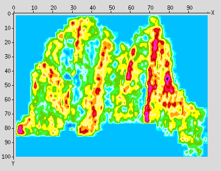
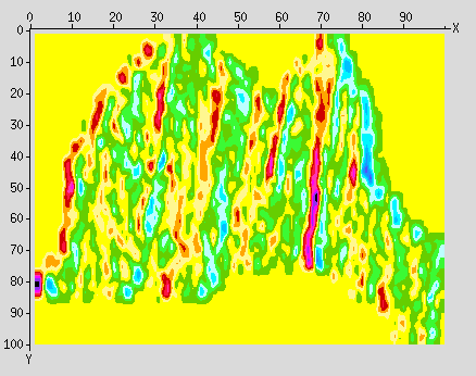
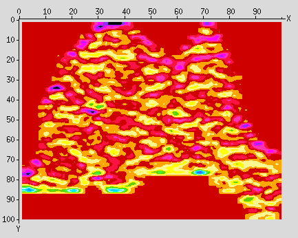
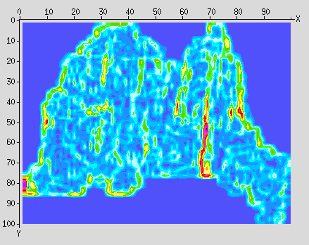
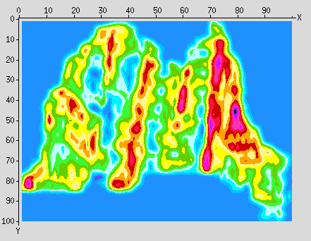
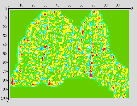
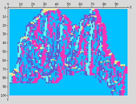
Here is the average values parameter map which was calculated in between horizon space of south amplitude cube of PRIOBSKAYA area by HORAN and than was exported into COSCAD format and processed there.
Of course it's impossible to show all COSCAD in this review. To learn more about it please connect with <A HREF = "mailto:borisov@ccas.ru> Vasily Borisov.